Ground Penetrating Radar Depth by Application
Knowing how deep ground penetrating radar (GPR) can scan helps you pick the right tool for the job. Since scanning a concrete slab isn’t the same as mapping soil layers on a geological site, it’s important to understand how this tool performs in different conditions before choosing your setup.
What Affects GPR Penetration Depth?
GPR depth depends on a few key variables, like soil conditions, your system’s frequency range, and the size of the target you want to locate.
Several factors determine how far radar signals can reach:
- Antenna frequency: Lower frequencies (like 100 MHz) go deeper but show less detail. Higher frequencies (like 1,500 MHz) deliver sharper images but don't reach as far.
- Material type: Dry, sandy soil offers better penetration. Wet ground, heavy clay, or reinforced concrete cuts that range down.
- Signal loss: Moisture, salt, and metal absorb radar energy. That limits how far the signal can travel and return usable data.
So if you're expecting one-size-fits-all performance, think again. It's always a tradeoff. You either get more detail or more depth, but not both.
Depth Expectations for Utility Locating and Concrete Scanning
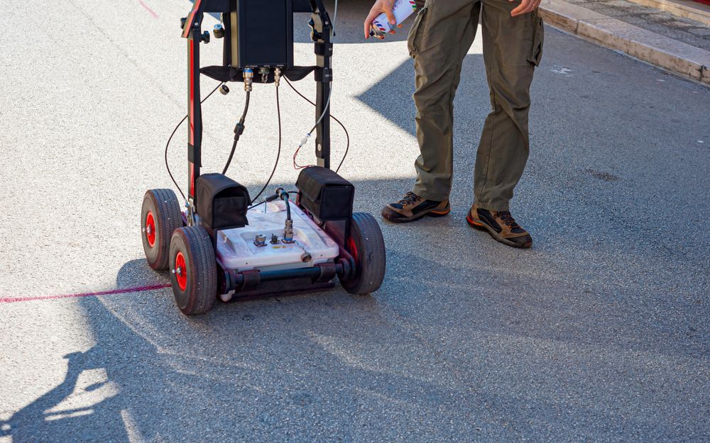
For utility locating, a GPR system using a mid-range antenna (around 250–400 MHz) can typically reach 3 to 10 feet (1–3 meters), depending on soil composition. And again, dry sandy soils allow deeper scans, while wet or clay-heavy soils reduce the range.
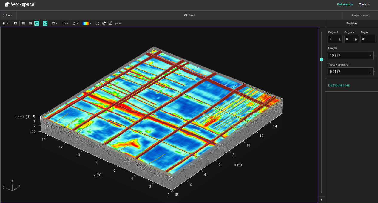
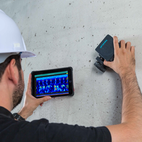
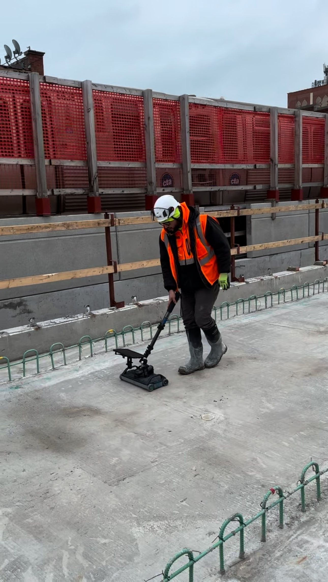
In concrete scanning, high-frequency antennas (like 1600 MHz) are common. Expect penetration depths of around 4 to 12 inches (10–30 cm), depending on slab thickness and reinforcement. This is plenty for locating rebar, post-tension cables, or conduits before cutting or coring.
In both cases, however, having trained operators makes a big difference. Knowing what to look for in the data is as important as the scan itself.
How Deep Can GPR Go in Environmental and Geological Surveys?
In environmental and geophysical applications, the goal is often depth over resolution, and lower-frequency antennas (50 to 250 MHz) reach the greatest depths. This makes GPR useful for:
- Environmental work: GPR helps locate buried tanks, map landfill boundaries, and identify contamination zones. With low-frequency antennas (around 100–200 MHz) and good soil conditions, you can expect penetration depths of 15 to 30 feet.
- Geological surveys: In clean, dry conditions, some systems have hit 100 feet or more. These depths are useful in applications like sinkhole detection, archaeological site analysis, and broad soil profiling.
Choose the Right GPR System for Your Depth Requirements
Different jobs need different tools. If you're scanning reinforced concrete, you’ll want high frequency and tight resolution. If you're profiling soil layers for geotech work, depth takes priority.
At GPR USA, we match your job needs to the right scanner. We carry Screening Eagle / Proceq systems and back them with hands-on training, professional software, and repair services that keep your gear ready to roll.
Contact us for more information and get expert support in choosing a GPR system that fits your field conditions and performance expectations.
