Radar technology:
Stepped-frequency Continuous-Wave GPR
Modulated frequency range:
40 – 3440 MHz
Effective bandwidth:
3200 MHz
Min. detectable target size:
1 cm | 0.4 in ²
Max. time window:
200 ns
Scan rate:
500 Hz
Spatial interval:
Up to 100 scans/m
Acquisition speed:
Up to 80 Km/h | 50 mph ³
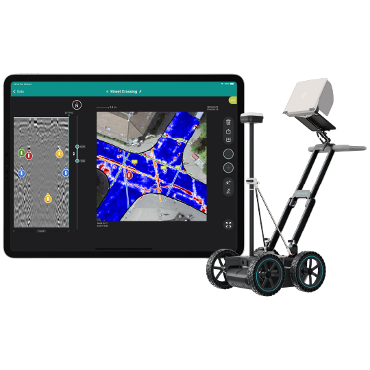
GNSS receiver:
Multiband GPS + Glonass + Galileo + Beidou; SSR augmentation / NRTK-compatible ⁴; Dimensions: 145 x 145 x 70 mm; Weight: 0.7 Kg, 4x AA-batteries included
GNSS real-time 3D accuracy:
Typ. 1 - 5 cm | 0.5 - 2 in ⁵
GNSS initialization time:
Typ. 5 - 30 s
Wheel encoders:
2
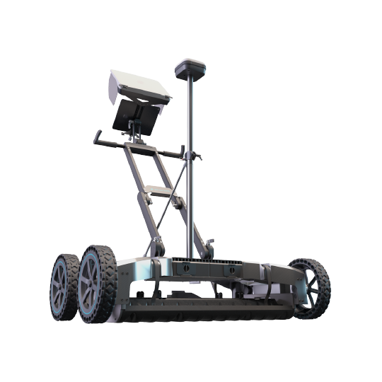
Configurations:
Proceq GS8000 Lite; Proceq GS8000 Pro ⁶
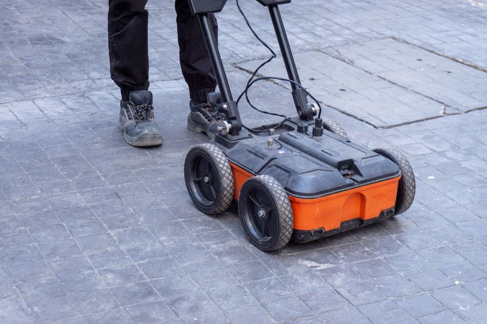
Weight:
24 Kg ⁷
Dimensions:
61 x 57 x 38 cm ⁸
Antenna positions:
Ground-coupled with dual-axis floating; Air-coupled with 25 mm clearance ⁹
Ingress protection (IP) / sealing:
IP65
Power supply:
Removable flight-safe battery pack ¹⁰ | Off-the-shelf power bank ¹¹
Autonomy:
3.5 hours | Full working day ¹²
Operating temperature:-10° to 50°C | 14° to 122° F
Operating humidity:<95% RH, non-condensing
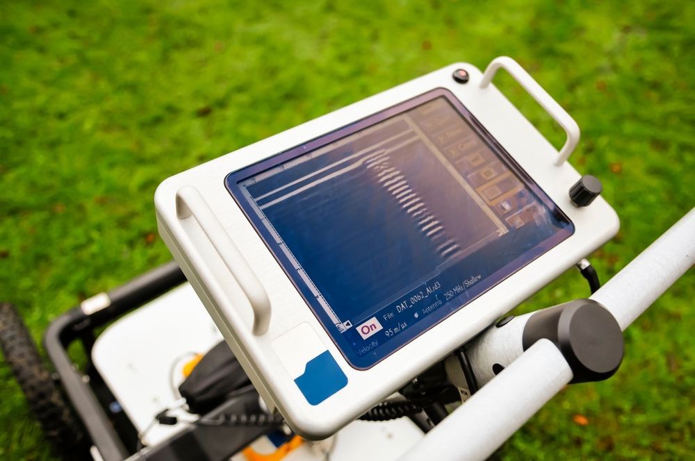
Connectivity:
WiFi, Ethernet, USB-A, USB-B, USB-C, Lemo ¹³
1.
Running an up-to-date iOS version; recommended models: iPad Pro® WiFi + Cellular 11” or 12.9”
2.
Metallic object buried at 0.3 m / 1 ft, in average soil conditions
3.
At 50 mm scan interval
4.
Needs an active Internet connection on the iPad; SSR service available in Europe, USA, southern Canada, southeastern Australia and South Korea / NRTK corrections via NTRIP in RTCM3 format
5.
Via NTRIP RTK or SSR corrections; the achieved accuracy is subject to atmospheric conditions, satellite geometry, observation time, etc.
6.
GS8000 Pro includes additionally: off-road wheels and underbody, GNSS pole fixation kit, tablet cover for sun and rain, hard transportation case
7.
For GS8000 Pro configuration: 27 Kg
8.
For GS8000 Pro configuration: 68 x 60 x 42 cm
9.
For GS8000 Pro configuration: 40 mm
10.
Contains 8x rechargeable C-Type NiMH batteries
11.
USB-C PD power bank with max. dimensions: W 85mm x H 28mm (recommended power: 12V/>=1.25A or 15V/>=1A)
12.
Recommended battery capacity: >4500 mAh | Recommended power bank capacity: >20000 mAh
13.
For terrestrial positioning systems, an intermediate serial adapter to DB9 might be needed to output Pseudo NMEA GGA positions