Radar technology:
Stepped-frequency GPR
Modulated frequency range:
500 – 3000 MHz ² | 30 – 750 MHz ³
Number of channels:
71 (VV) + 31 (HH) ² | 23 (VV) ³
Channel spacing:
2.5 cm (VV), 5.5 cm (HH) ² | 7.5 cm ³
Scan width:
1.75 m ² | 1.67 m ³
Scan rate:
27500 scans/s ² | 22000 scans/s ³
Time window:
45 ns ² | 130 ns ³
Acquisition speed:
Up to 80 Km/h ² ⁴ | Up to 180 Km/h ³ ⁵
Spatial interval:
Up to 100 scans/m
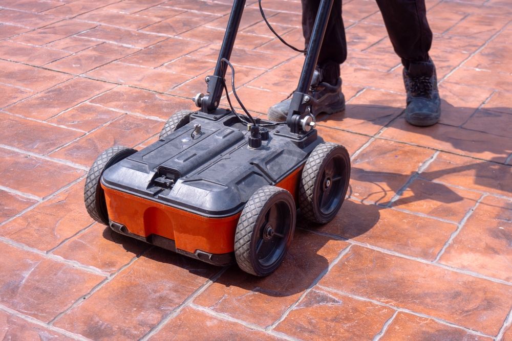
Dimensions:
Total length: 923 mm | Total width: 1882 mm
Weight:
87 - 93 Kg ¹⁰
Odometry:
Doppler radar or wheel speed sensor
Ingress protection (IP) / sealing:
IP65
Towing system:
Rear hitch, 50 mm ball
Shock absorption system:
Hydraulic, optional anti-bump wheels
Power supply:
Power-over-Ethernet / External 12V
Operating temperature:-10° to 50°C | 14° to 122° F
Operating humidity:<95% RH, non-condensing
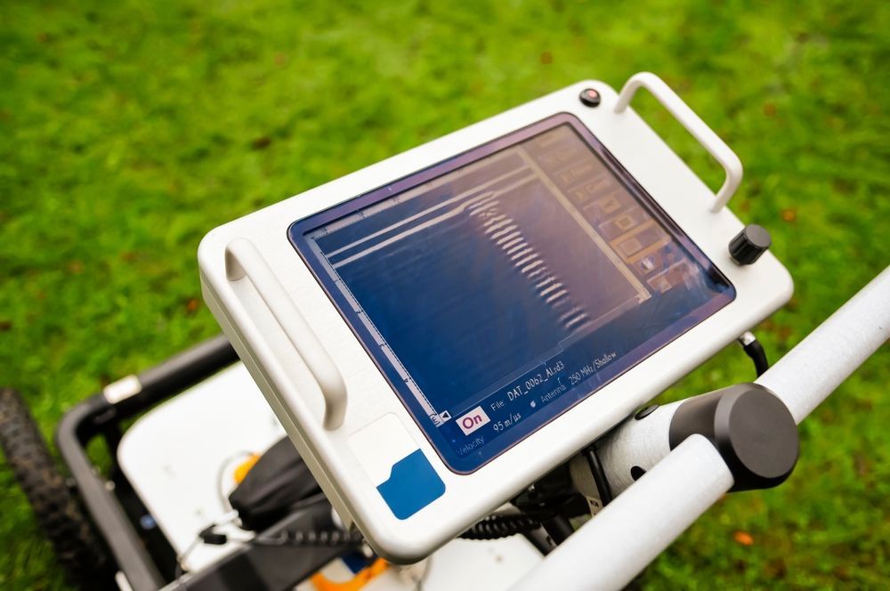
Connectivity:
USB-C, USB-A, 2x Ethernet + Power, 2x Lemo ⁶, 2x ODU Antenna connector, Universal I/O (UART, CAN-Bus)
GNSS satellites:
Multiband GPS + Glonass + Galileo + Beidou
GNSS real-time corrections:
NTRIP RTK compatible ⁷
RTK accuracy:
Typ. 1 - 5 cm | 0.5 - 2 in ⁸
RTK outage accuracy:<0.1% drift/distance ⁹
Sensor fusion:
GNSS + IMU + Camera imaging + Wheel speed
Feature tracking:
Yes
1.
Running an up-to-date iOS version; recommended models: MacBook Pro® 2022 model or superior
2.
In combination with 2x GX1 array modules
3.
In combination with 2x GX2 array modules
4.
At 100mm spacing
5.
At 50mm spacing
6.
For terrestrial positioning systems, an intermediate serial adapter to DB9 might be needed to output Pseudo NMEA GGA positions
7.
Needs an active Internet connection on the iPad; NTRIP corrections in RTCM3 format
8.
The achieved accuracy is subject to atmospheric conditions, satellite geometry, observation time, etc.
9.
By bundle adjustment between fixed RTK positions. Estimated max. error: 0.3 m in floating RTK sections./
10.
Depending on configuration and accessories, cables included