
Compare ultrasonics vs GPR for concrete assessment. Learn when each method excels with insights from GPR USA experts.
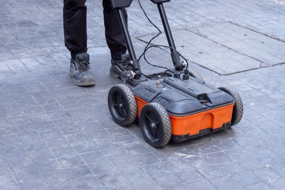
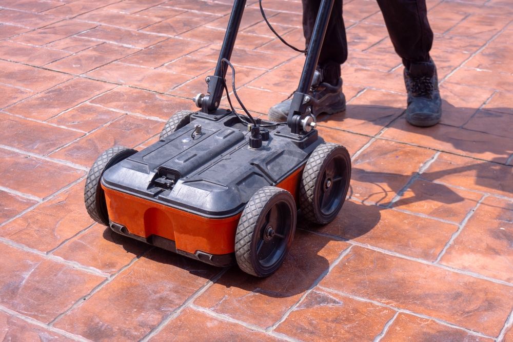
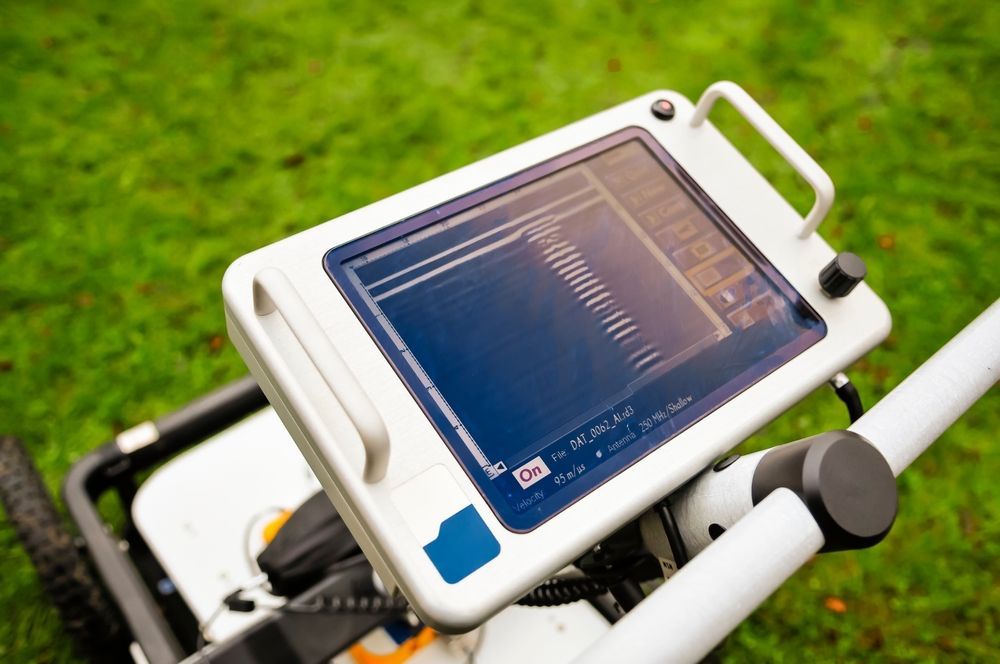
Compare handheld vs cart GPR systems with GPR USA and find the right setup for concrete scanning and utility mapping.
Explore the top industries for GPR scanning, from construction to infrastructure inspections. Learn how GPR USA helps teams detect hidden subsurface risks.