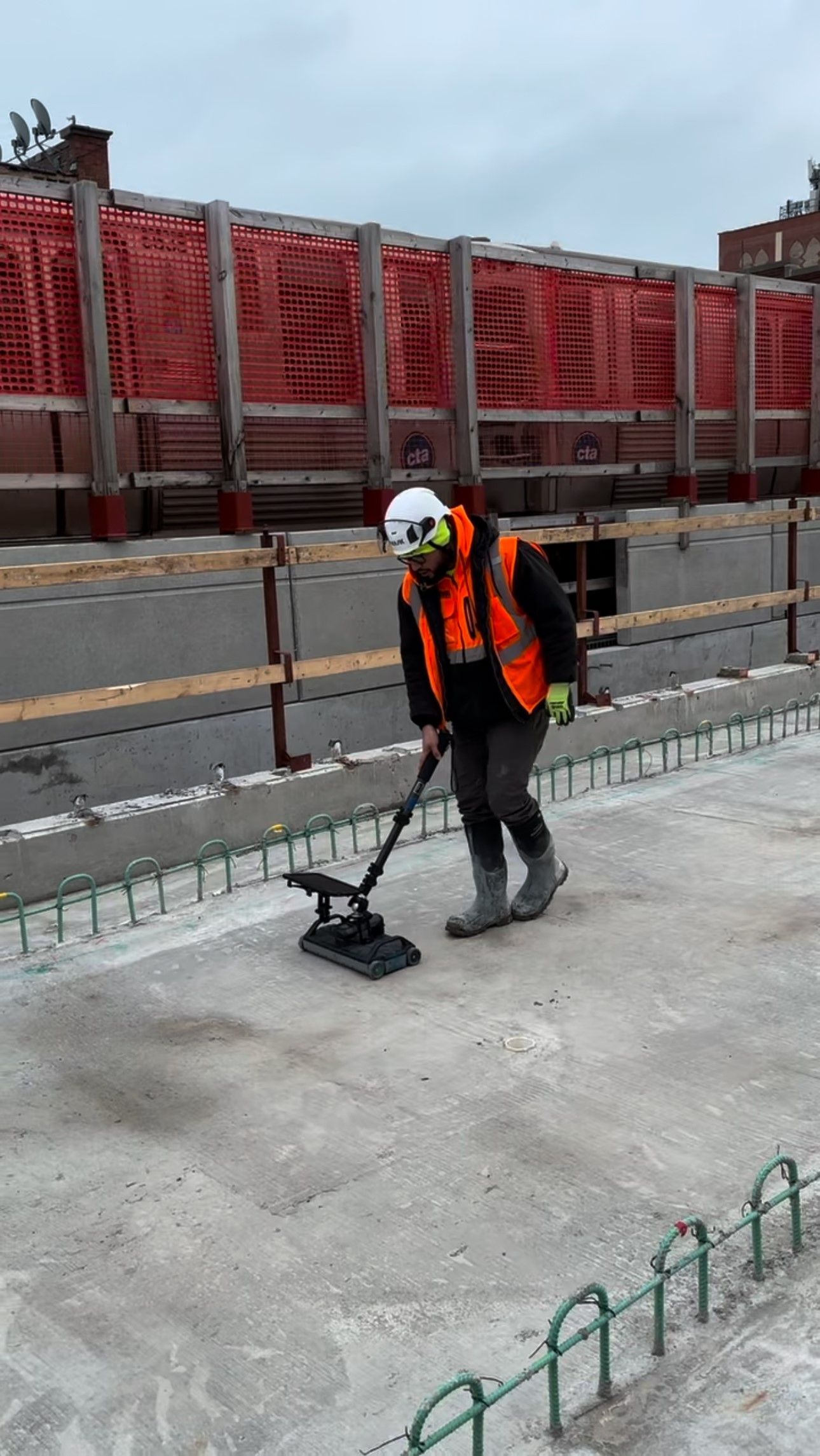
What is Underground Mapping?
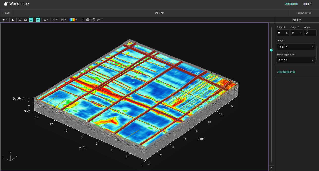
There’s an old saying: Beware a calm surface—you never know what lies beneath.
And nowhere is that more true than when breaking ground on a jobsite. A smooth slab or quiet stretch of ground can hide gas lines, power conduits, or telecom cables just inches below. One wrong move, and your timeline, budget, and crew safety are all on the line.
That’s why more crews are taking underground utility mapping seriously, and the smartest ones are bringing the process in-house. Relying on old records or third-party locators leaves too much to chance. When you control the mapping, you control the risk.
Underground utility mapping with ground penetrating radar is the process of locating and marking subsurface infrastructure, including pipes, conduits, cables, and tanks, before digging begins. Done right, it prevents utility strikes, protects workers, and keeps projects on schedule, before a bucket, saw, or auger ever goes in.
Defining Underground Utility Mapping
In general, underground utility mapping involves identifying, locating, and documenting utilities buried beneath the surface. This includes water lines, sewer pipes, gas mains, electrical conduits, telecom cables, and more. The goal is to create a detailed, accurate map that supports safe planning and excavation.
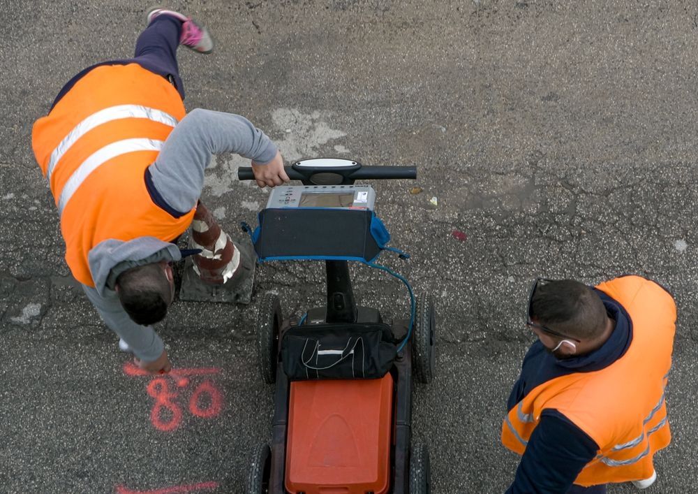
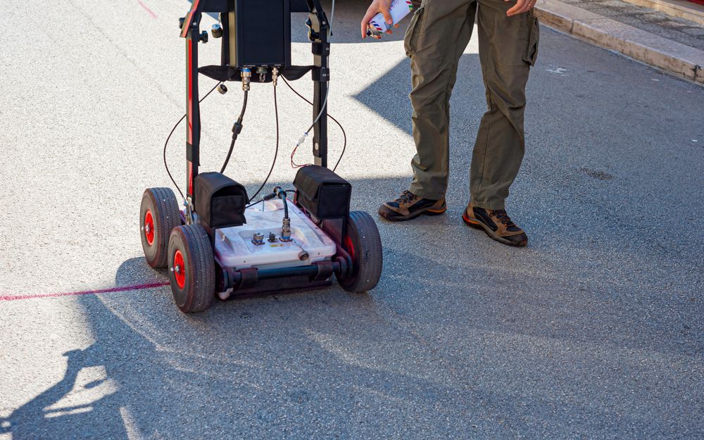
Depending on the site, this might involve reviewing old plans, potholing, and using non-invasive tools like ground penetrating radar (GPR) to detect and trace lines without breaking ground.
Why Accurate Mapping Matters
Hitting a buried utility can be dangerous and expensive. Striking a gas line or fiber optic cable can shut down projects, injure workers, and lead to serious legal and financial consequences.
Accurate underground mapping offers several key benefits:
- Prevents costly utility hits
- Protects workers and infrastructure
- Speeds up permitting and inspection
- Reduces unplanned delays and rework
- Improves project confidence and coordination
For engineers, contractors, and utility locators, accurate data is the difference between a smooth job and a risky one.
How GPR Technology Detects Subsurface Utilities
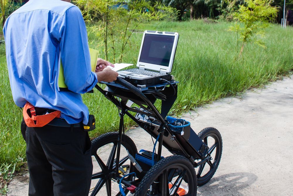
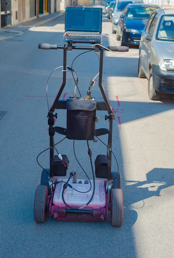
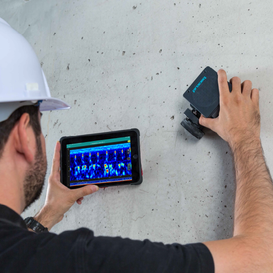
Ground penetrating radar is one of the most effective tools for mapping underground utilities. GPR systems work by sending radar signals into the ground. When those signals hit an object, like a pipe or conduit, they bounce back to the surface and are recorded in real time.
Unlike electromagnetic locators that require a direct connection to metallic lines, GPR can detect both conductive and non-conductive materials. That includes plastic pipes, fiber lines, concrete ducts, and abandoned infrastructure.
Modern GPR systems allow for:
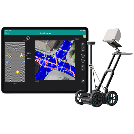
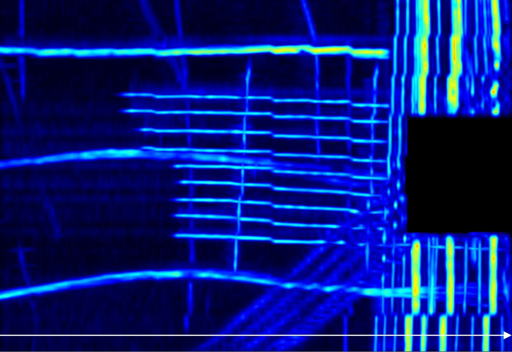
- Real-time imaging of buried objects
- Depth estimates and line tracing
- Minimal disruption to the job site
- Safe operation near live utilities
It’s a non-destructive, highly effective way to locate what’s below, especially in complex or unmarked areas.
Choosing the Right GPR System for Utility Mapping
Not all GPR systems are built the same. For underground utility mapping, you need equipment that’s tuned for depth, resolution, and reliability in varied soil conditions. Look for systems that offer:
- Mid-range antenna frequencies for a balance between depth and detail
- Durable, field-ready design
- User-friendly software for marking and reporting
- Strong support and training for your crew
At GPR USA, we help contractors, engineers, and utility locators choose systems that match their specific mapping needs. We offer Screening Eagle / Proceq GPR units designed for utility detection, backed by expert-led training and ongoing support.
Contact us for more information on getting the right system for accurate, efficient underground utility mapping.
